To go west from Toowoomba is to follow the flow of water from the Great Divide towards the ocean in South Australia. This is part of that journey.
You slide off the ranges through increasingly broad valleys and past scattered volcanic knolls. Lines across the landscape mark out the productive fields with their rich black soils. There is activity all around, tractors in the fields, a puff of dust from ploughing, large trucks laden with grain or stock and hamlets and towns with their bright signs and green parks. Hours pass and the sky broadens and you become part of the vast alluvial plains which stretch from Queensland to the great flood plains in northern NSW.
The landscape on the plains, both beautiful and monotonous, feels everlasting. Only occasionally do taller tree mark subtle channels which fill for miles after big wets to the east. Then come the small signs on the broad bridges marking the rivers - not rivers as most would know then, but small depressions with their quiet fawn coloured pools, sometimes separated, sometimes connected.
Bustling towns and highways full of busyness give way to scattered lonely homesteads and villages with a single store or, if you are lucky, a pub and a petrol station. Some lie near the river channels, their stilted houses perched above the flood peaks. Some sit at cross roads or next to forgotten railway lines.
We reach Moonie sitting at a crossroad. It’s Saturday afternoon and the pub on the corner has a fleet of muddy and dusty utes in its carpark. Across the road at the side of a park is a large blue contraption - a preserved oil beam pump left over from the days when this was an oil field in the 1960’s showing lots of promise but which always remained small. A quick snap and we move on.

At St George there is also a pub on the corner - it is very much larger. In my memories from decades ago it was huge. Yes, it is two stories, but modest. The streets are broad, and down by the park the 4G phone signal is very strong. I look up and see the tallest structure in town looming overhead. All the houses are perched as if on long legs. No cafes are open. The local Foodworks provides bread and oddments which we happily consume in the cool breeze blowing across the river into the park beside the water.
South from St George the highway has few cars, perhaps four in an hour. Floods in recent times have eroded patches of road and potholes require careful avoidance. Slow speeds across the low roads adjacent to the river for best part of an hour. The low concrete dips across channels and roof high grass tell of times when the river could have been miles wide and the road impassable. Then a dramatic turn west to Diranbandi as the road parallels the western rail line. The road turns again, this time south, and soon we are again on the flood plains. The river is never visible but a line of taller gums marks its presence on the western skyline. Emus and kangaroos loiter in roadside paddocks. The maps show a lake beside the road but its presence is only marked by taller gums and the grey soils of the flood plains.
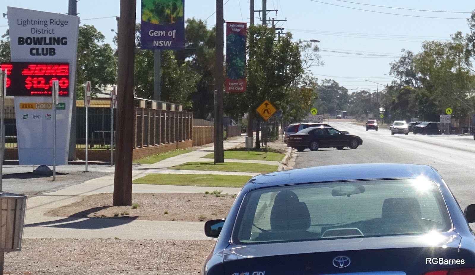
Hours pass until roadside signs speak of glistening prizes - opals. Opals - attraction to fortune seekers, the curious, the hopeless romantics, those seeking solitude and, these days, the grey nomads with their mobile domesticity travelling like snails across these parched lands. We turn into Lightning Ridge to be greeted by a special type of outback - a cross between the real and a theme park.
The streets are almost empty but the car park outside of the Bowlo is near full. We seek a room and end at the Black Opal Motel on Opal Street. “Geez, you’re pretty late. Lucky we have one room left, but only for one night - it’s the Black Opal Bowling Tournament this week you know”. We retire to the 1950’s in our very modest room. Across the road and down a bit, the Bowlo is all steaks and schnitzels.


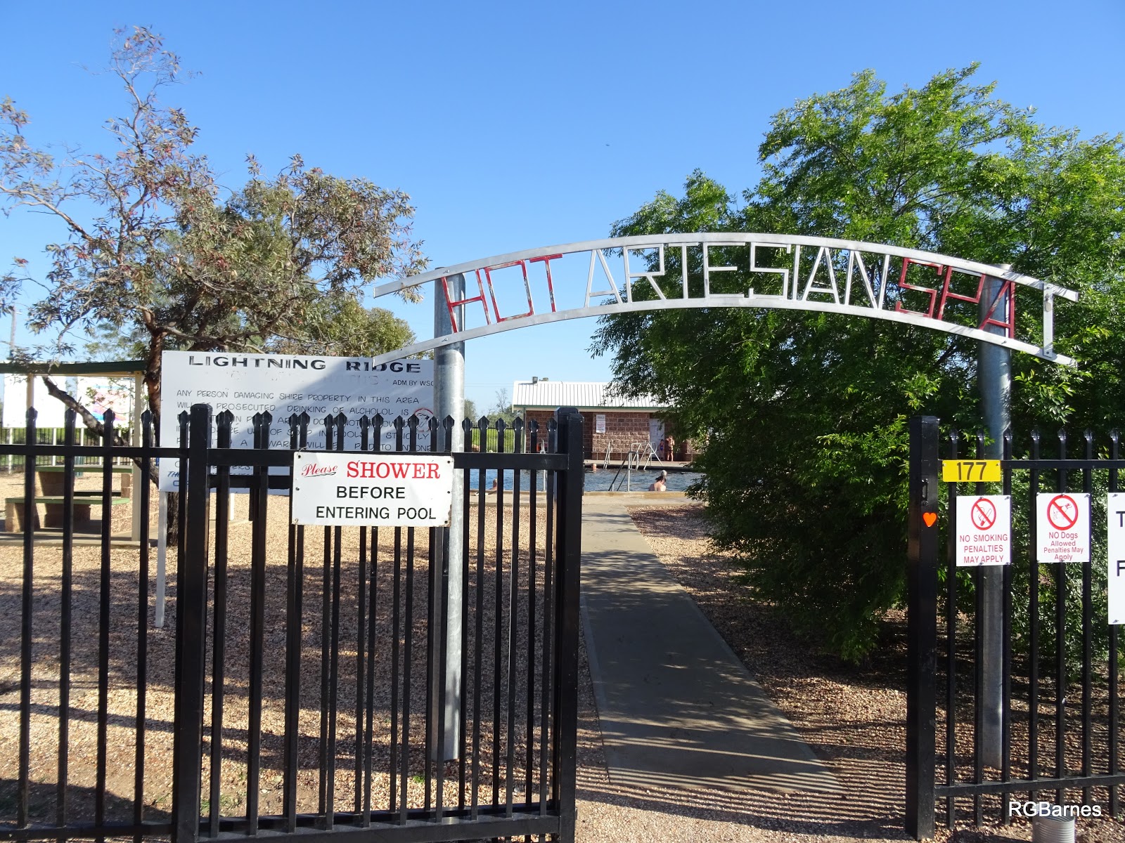
The morning, typical outback, blew warm with barely a cloud in the stark blue skies. A dip to freshen up in the hot artesian pool on the edge of town, soothing weary limbs of travellers and locals. A steamy mist rises from the circular pool. No gates, no fees or lifeguards - take care of your self. A local skims some dead mosquitoes from the top of the waters heated from far below ground. Multiple voices drift across the water - some local, some in foreign languages. Amongst the chatter, the occasional name of towns can be understood - clearly a road trip to the hot springs in Moree, Burren Junction, Pilliga.. Sweat exudes from the forehead. I climb the rickety iron steps and am cooled by the breeze. A faint sulphurous odour persists.
Peter from the opal shop is keen to talk - anyone will do on a quiet Sunday morning. Tales of fortunes and misfortunes, dealers and thieves - caveat emptor. I leave with some small but pretty opals in my pocket, wallet lighter. The petrol station is more like a super market with petrol - all sorts for all sorts. The man from India notices my city car and tells tales of how he had one of those once and how much he liked it. I ended buying the larger drink bottle for only 50 cents more. Through to the diggings - ordered and straight streets give way to chaos with scattered huts and abandoned cars, caravans with shades amongst the white ant hills, imagining small specks of colour but seeing none.
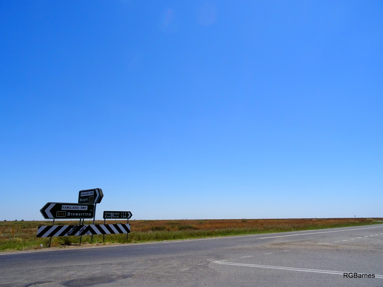
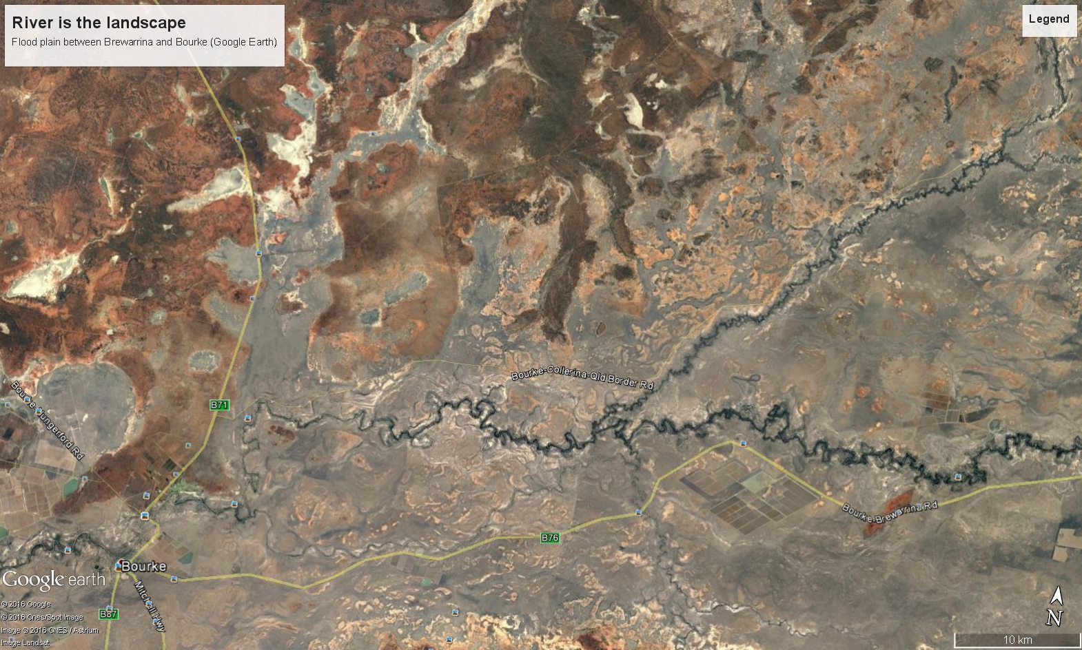
We are heading south to towns often heard of but seldom visited - the river towns which had their glory days when the river was the road and sheep grew money. Along the Barwon - Walgett, Brewarrina, Bourke. It has been a wet winter and in spring the countryside is blooming.
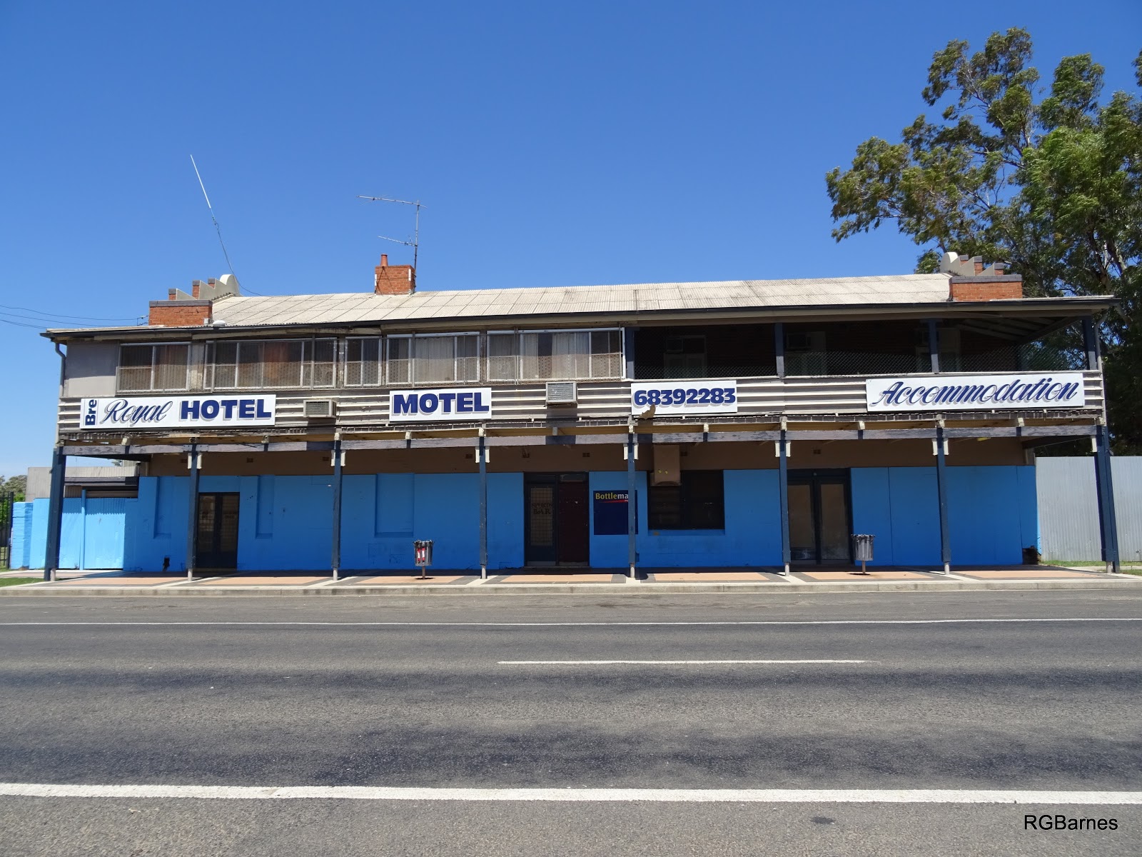
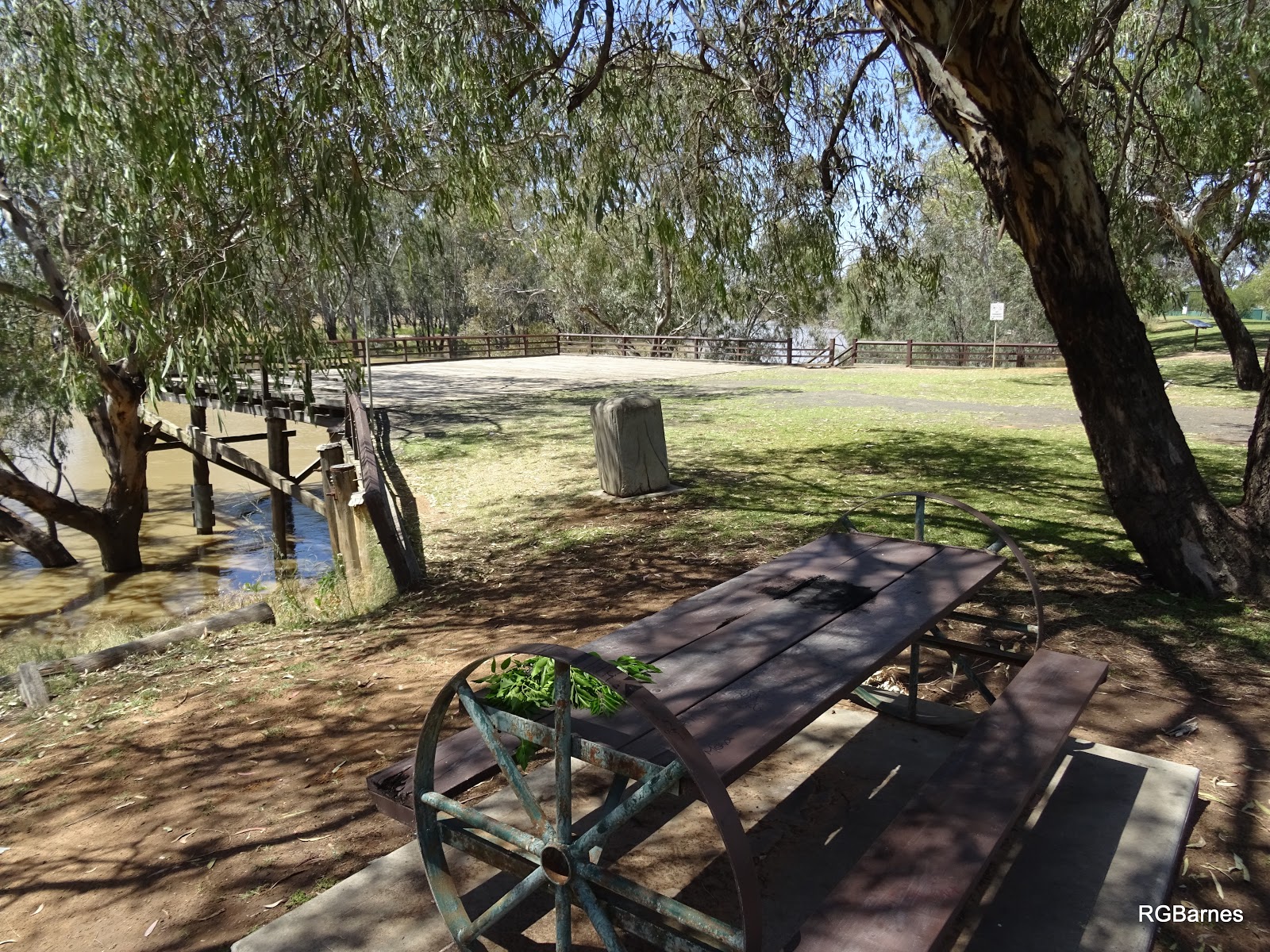
We cross the river at Walgett where it is wide but well held by levees. At Brewarrina the river flows fast, seats in the riverside park are now in the river. It’s Sunday morning and the wide streets are empty. A small cafe door is ajar. We enter but are quickly told - “we’re closed”. Not even the pub is open. Time to move on.
In the next hour we pass several large road trains - obviously the Kamilaroi Highway is a quick route from the interior to the coast.
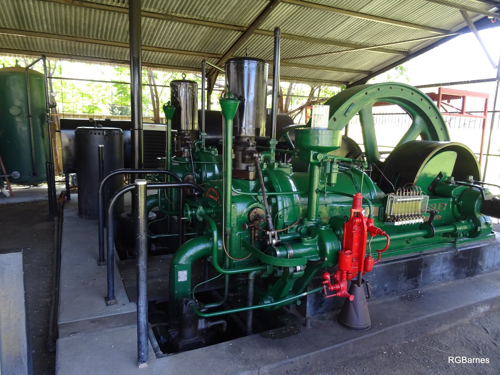
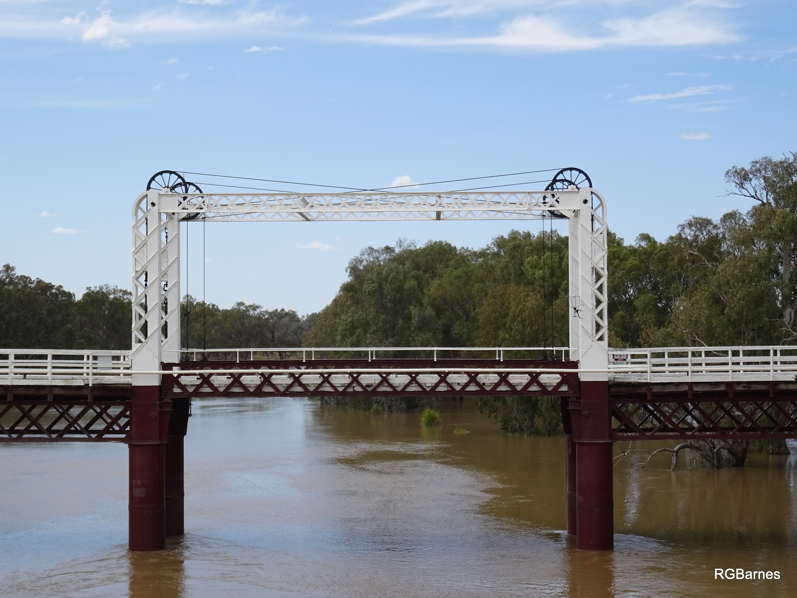
Bourke is more substantial than the river towns seen so far. Bold colonial buildings mark its former importance when the river mattered and governments were prepared to build to stay, to occupy this vast interior space. At the substantial wharf, heritage water pumps overlook the tree lined river which is twice its normal width and fast flowing.
The paddle boat tours have been cancelled due to high water. Local children frolic and swing into the river with little regard to its swift flow. We pay homage to days past then drive north to cross to the far bank of the river. The heritage bridge still has its lifting centre section but is now unused.
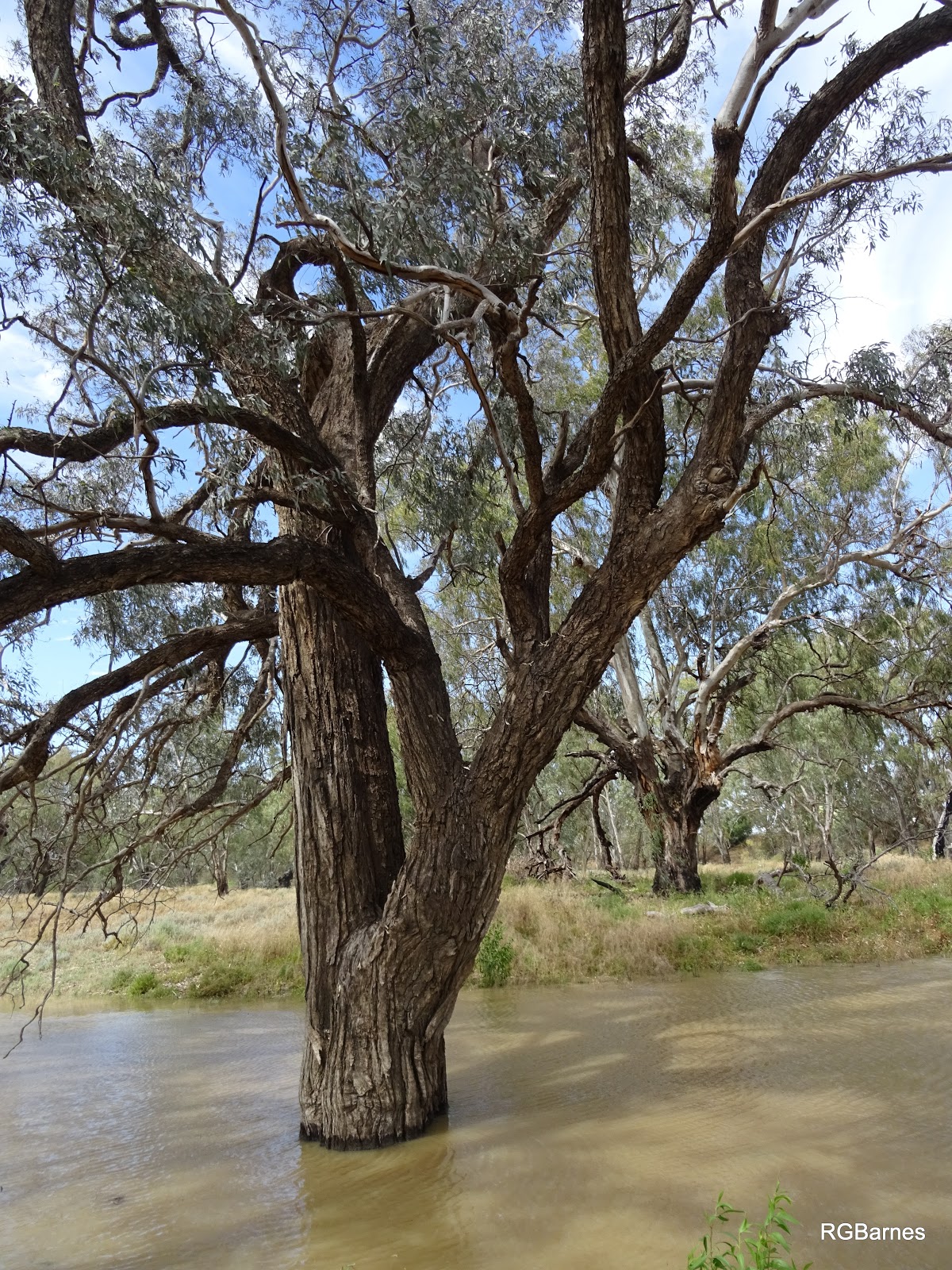
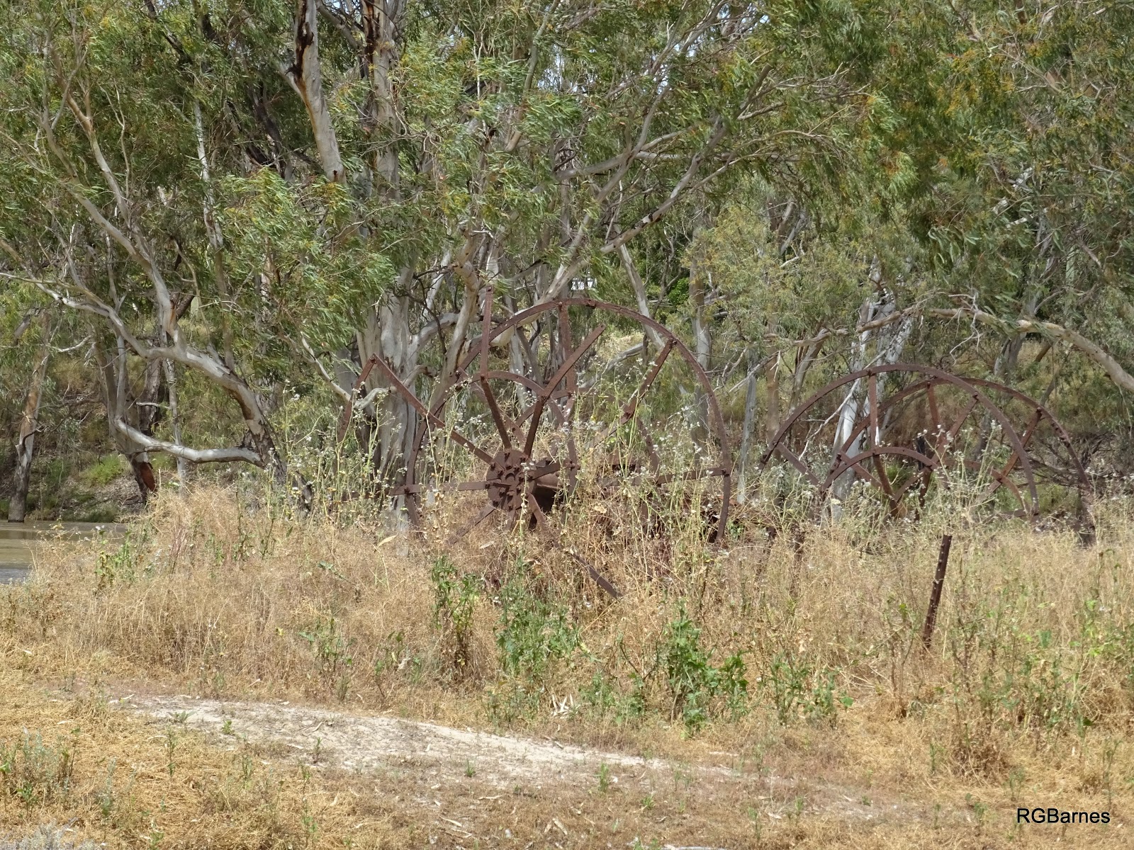
We drive along dusty River Road and, after almost turning back, a small sign reads "Maritime Port of Bourke Heritage Area". More dirt tracks and we come to a small marker. The sign on the post is faded by the daunting outback sun. High waters cut off our access to the skeleton of a former paddle steamer stranded high on the the river bank and still a metre above the current swollen river level. The PS Wave, the sign tells us, was stranded while cutting across a paddock during a river fresh. It was caught as river levels fell and remained stuck awaiting a new flood which never came. Its owner continued to live in the boat for many years but it was never refloated. Eventually abandoned, time and fires have left only the metal ribs and the circles of the paddles amongst the dust. I was elated at having found this piece of history melded with the landscape and still telling its tale.
And then we’re off heading pretty much dead south for a couple of hours on the Kidman way, to the mining town of Cobar, but that is another story.
